Rice Fallow Pulse Monitoring & Forecasting Platform
The livelihood of 65% of the population in West Bengal in Eastern India is based on agriculture,. The state's net sown area is 61% of the total geographical area, much higher than the national average (46%). About 80 per cent of the agricultural land belongs to marginal and small farmers, who constitute over 95% of the total farm population. West Bengal's agriculture is highly dependent on monsoon and has a lower area under irrigation than other states. West Bengal is one of the largest producers of rice in India, but its production has been in steady decline since 1990. Rice production in West Bengal has declined since 1975 due to rising costs associated with farming, especially irrigation systems. The climate in West Bengal is suitable for growing high-quality rice varieties such as basmati and jasmine, but it is also susceptible to frequent flooding and drought due to extreme weather conditions. To bypass the acute shortage of irrigation water in the rabi season, relay or utera cropping system that incorporates legumes into cropping system has great potential. Relay crops are grown with residual moisture after kharif rice under rainfed conditions, but soil moisture may be limiting at the later stage, resulting in poor yields. Utera cropping also decreases production costs as there is no need for land preparation and other farm operations. Converting the rice-fallow system to a rice-pulse system will ensure improved nutritional security for small holder households in this resource-poor region.
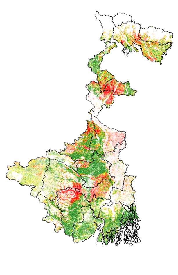
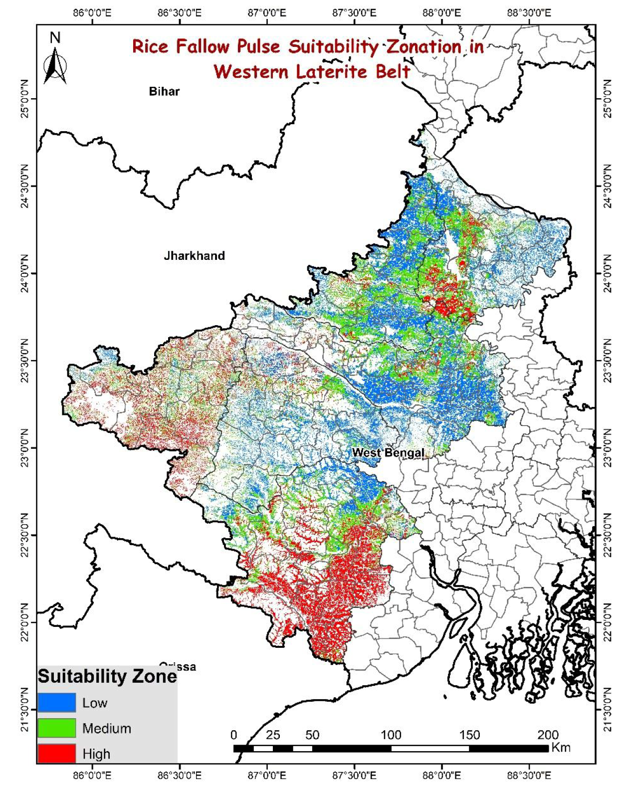
The Western Lateritic Zone in West Bengal, India, is a region with large flat-topped hills known as laterites. The study documents real-time changes in rice fallow dynamics and long-term evolution of land cover, focusing on the effects of changing climate, anthropogenic activities, and public policy on agricultural practices, cropping patterns, and land cover patterns. Rice-fallow areas in West Bengal and eastern India are those where rice crops are grown during Kharif season but are left fallow during Rabi season. Smallholder agriculture applications require fine spatial resolution data to delineate rice fallow areas for pulse intensification, aiming to achieve food and nutritional security while supporting conservation agriculture and economic growth. To understand the spatiotemporal dynamics of the agriculture system in West Bengal, the extent, distribution, and characteristics of rice fallow are needed. Rice fallow maps of West Bengal (Rabi season 2019-20) were generated using Sentinel 2 satellite imagery in Google Earth Engine platform, along with Machine Learning and Ground Observations. The study also maps the rice fallow pulse suitability zonation based on residual soil moisture, which directly or indirectly influences plant growth and crop yield. This map was provided before seed distribution interventions across the state towards rice fallow intensification.